
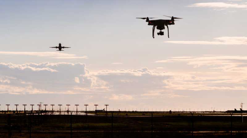
Photo for illustrative purposes only. SUPPLIED
The Abu Dhabi Environment Agency (EAD) will deploy the latest satellite drone remote sensing technologies and Artificial Intelligence (AI) as the emirate launches the second phase of the soil monitoring project to ensure quality. The campaign aims to visit 250 locations in 50 days. According to Eng. Faisal Ali Al Hammadi, Acting Executive Director of the Environmental Quality Sector of EAD, the second phase will include an aerial inspection of the Mussafah industrial region. Bayan Mahmoud Athamna, Director of the Environmental Quality Department of the Environment Agency in Abu Dhabi, said that the trial phase of the project, completed in August 2021, already covered two sites. “In the second phase of the project, 250 sites will be surveyed within 50 days, and more than 3.8 million square meters of land will be covered using drones,” she said. During this phase, more than 410 soil samples will be gathered and analyzed, and the results are linked to aerial photos captured by drones. She stated that remote sensing technology evolution would soon be able to monitor soil health using satellite imagery in the near future. "We have developed the methodology. Hence, we can keep pace with this technology and be ready for this paradigm shift in the future," she added. Athmna also mentioned that a smart monitoring system based on remote sensing techniques and AI has been created to predict the most significant pollutants caused by human activity. Heavy metals, organic hydrocarbon contaminants, and salinity levels are among them. The soil monitoring program, which began in 2018, is aimed to evaluate the level of pollutants in the soil. The project is divided into three phases: the pilot phase, which took place in two Musaffah locations. The second phase will map the Musaffah Industrial Sector. The third and final phase will cover the entire industrial area in Abu Dhabi. EAD will be able to identify and monitor the physical and chemical features of an area from a distance using remote sensing. EAD will also be able to preserve and monitor the environment more efficiently because satellite imagery is known to produce objective, repeatable, and transparent data. BKM/ Expat MediaFor all the latest news from the UAE and the world, follow us on Facebook, Twitter and Instagram and subscribe to our YouTube page












Comments
Leave a Comment