
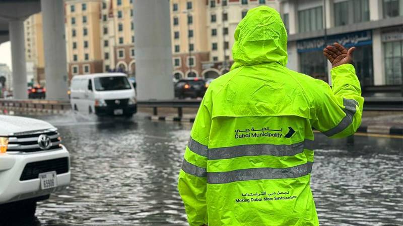
Picture for illustrative purposes only. ARCHIVE
In response to expected increases in rainfall intensity, Dubai authorities have mapped 14 flood-prone areas across the city as part of a comprehensive plan to manage potential flooding risks. The initiative follows predictions by the UAE’s National Center of Meteorology, which forecasts up to a 30 percent increase in rainfall over the next decade. Dr. Mohammed Al-Abri, Director of the Meteorology Department, emphasized the importance of this initiative, noting, “Proactively mapping flood zones allows us to strategically implement drainage improvements and increase Dubai’s resilience to climate events.” The flood-prone areas span critical routes such as Sheikh Zayed Road, Al Khail Road, and Sheikh Mohammed bin Zayed Road, all vital to Dubai’s infrastructure. In coordination with Dubai Police, authorities are developing both immediate and long-term projects to mitigate rainwater accumulation. Mohammed Al Dhanhani, Director of Corporate Risk Management at Dubai Municipality, revealed, “By enhancing drainage systems in these identified hotspots, we aim to effectively reduce waterlogging, safeguarding both residents and city infrastructure.” The Dubai Roads and Transport Authority (RTA) has also identified 22 other vulnerable locations, with plans underway to install drainage pumps and other infrastructure improvements in collaboration with Dubai Municipality. Muhannad Khalid Al Muhairi of the RTA highlighted that these efforts are part of a broader city-wide strategy to address climate risks. Further supporting these initiatives, Sheikh Mohammed Bin Rashid Al Maktoum recently launched the “Tasreef” project, a Dh30 billion rain drainage network that is set for completion by 2033. ICA/Expat MediaFor all the latest news from the UAE and the world, follow us on Facebook, Twitter and Instagram and subscribe to our YouTube page











Comments
Leave a Comment